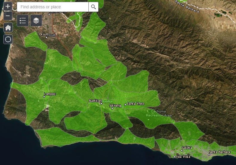
This map shows areas which may be affected by a Public Safety Power Shutoff (PSPS) and is intended to help residents identify the circuit(s) they live or work in. Before and during an actual PSPS, please refer to the Southern California Edison (for South County residents) and PG&E (for Mid and North County) websites for real-time outage information.
Este mapa muestra las áreas que pueden ser afectadas por un corte de energia por motivos de seguridad pública (PSPS, por sus siglas en inglés) y puede ayudar a los residentes a identificar los circuitos en los que viven o trabajan. Antes y durante un PSPS real, consulte los sitios web de Southern California Edison (para los residentes del sur del condado) y PG&E (para el medio y norte del condado) para obtener información sobre apagones en tiempo real.
View Larger Map | SCE Registry | PG&E Registry | Test Your Location
